Log in
All resources
Create a design
183,459 Free Images of Maps With Figures
maps made in the 17th century
maps by pieter schenk (i)
gerard valck
atlantis magni tomus quartus (biblioteca comunale di trento)
atlantis magni tomus quintus (biblioteca comunale di trento)
maps made in the 18th century
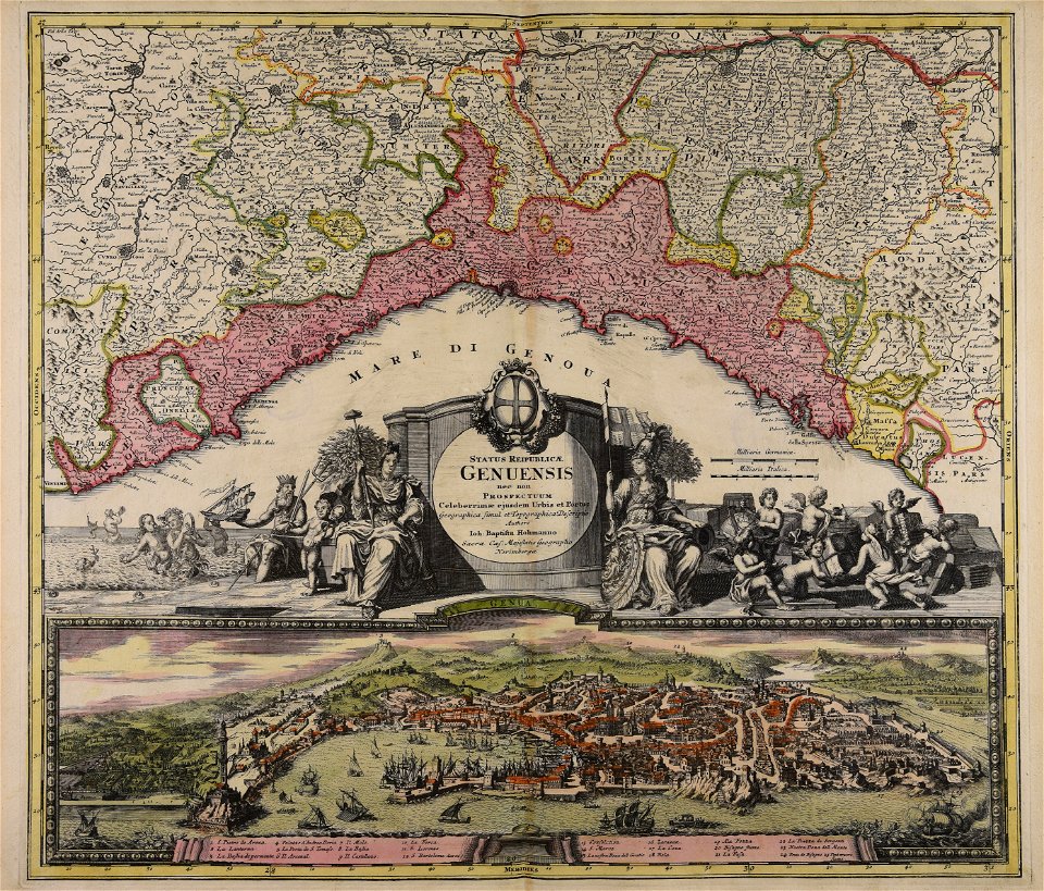
johann baptist homann
novus atlas sinensis
maps with cartouches
bibliothèque nationale de france
maps of the byzantine empire
maps of anatolia
maps made in the 17th century
gerard valck
maps made in the 17th century
gerard valck
georg balthasar probst (1732-1801)
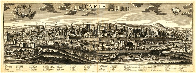
historical views of paris
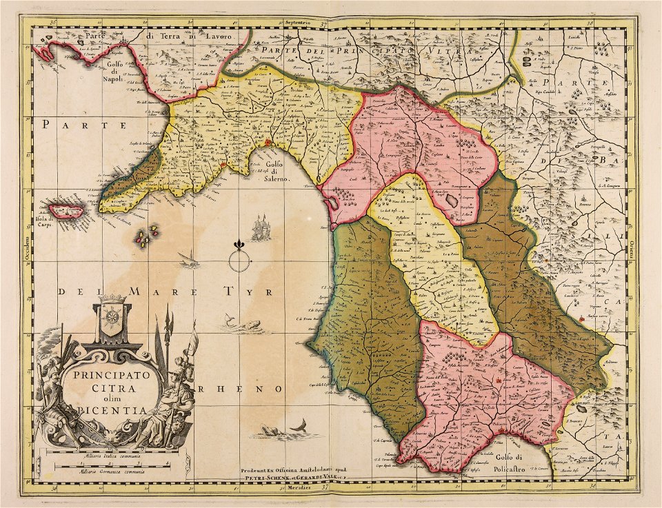
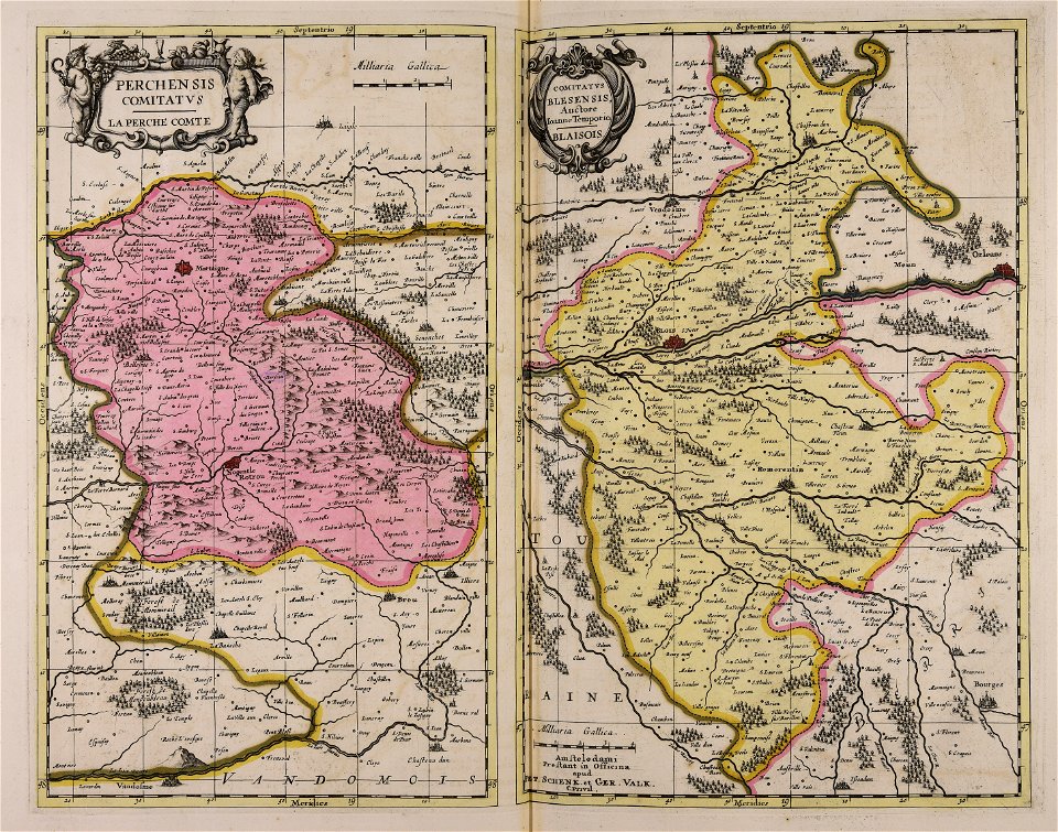
maps made in the 17th century
gerard valck
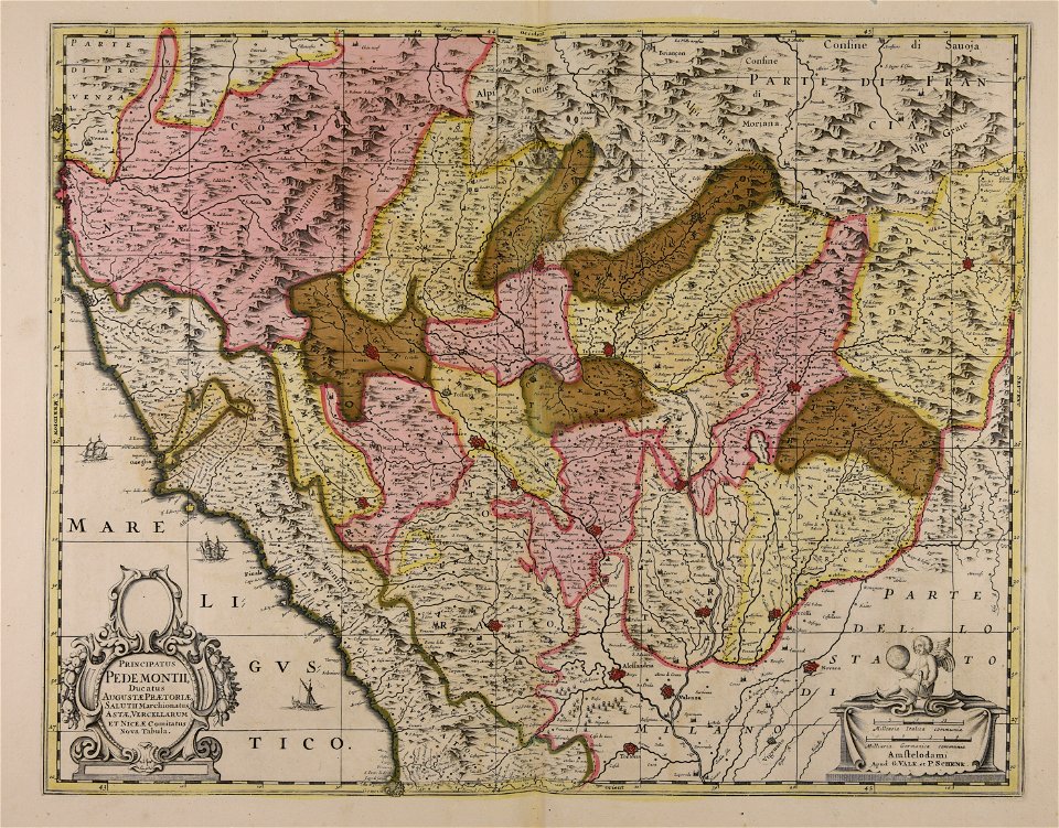
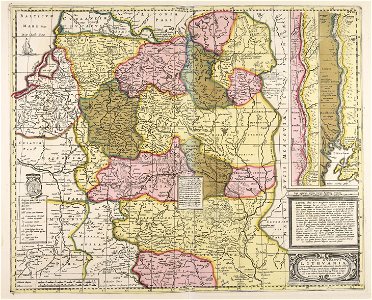
maps made in the 17th century
gerard valck
old maps of pomerania
rudens
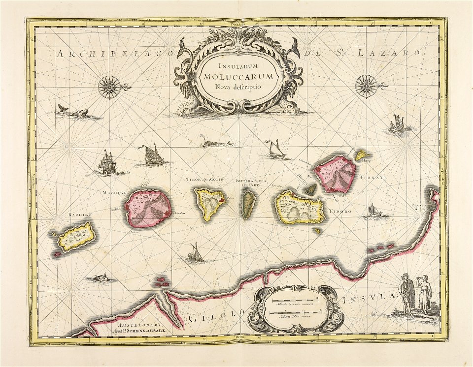
maps made in the 17th century
gerard valck
maps of the united kingdom of great britain and ireland
ireland in the 1900s
maps made in the 18th century
maps by pieter schenk (i)
collections de la bibliothèque nationale et universitaire de strasbourg
johann baptist homann
mobile river
alabama
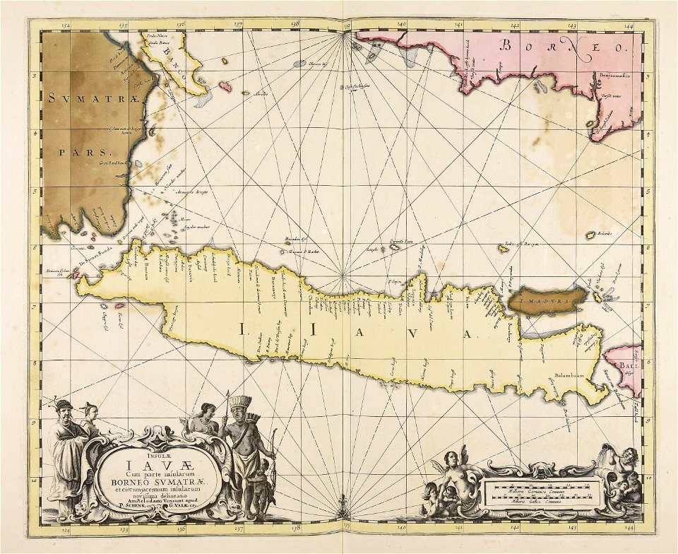
maps made in the 17th century
gerard valck
maps made in the 17th century
gerard valck
maps made in the 17th century
gerard valck
maps made in the 17th century
gerard valck
maps made in the 17th century
cornelis danckerts (ii)
maps made in the 17th century
gerard valck
bishopric of constance
1779 in germany
maps made in the 17th century
gerard valck
maps made in the 17th century
gerard valck
maps made in the 17th century
gerard valck
jean-baptiste martenot
old maps of rennes
sala del mappamondo (palazzo vecchio)
ignazio danti
maps made in the 17th century
guillaume sanson
maps made in the 17th century
guillaume sanson
maps made in the 17th century
gerard valck
maps made in the 17th century
gerard valck
prints from manesson travaux de mars at the peace palace library
fortifications in belgium
maps made in the 17th century
gerard valck
maps made in the 17th century
gerard valck
maps made in the 17th century
gerard valck
maps made in the 17th century
gerard valck
maps made in the 17th century
gerard valck
maps made in the 17th century
gerard valck
maps made in the 17th century
gerard valck
maps made in the 17th century
gerard valck
maps made in the 17th century
gerard valck
maps made in the 17th century
gerard valck
maps made in the 17th century
gerard valck
old maps of frankfurt am main
johann baptist homann
old maps of north rhine-westphalia
lower rhine region
maps of antwerp city walls
old maps of antwerp
maps made in the 17th century
gerard valck
maps made in the 17th century
gerard valck
maps by willem and johannes blaeu
coats of arms of zeeland
hyacinthe rigaud
françois arago
maps made in the 17th century
gerard valck
maps showing history
corfu
maps made in the 17th century
gerard valck
maps made in the 17th century
gerard valck
maps showing history
corfu
maps made in the 17th century
gerard valck
old maps of north brabant
old maps of south holland
old maps of south holland
merwede
maps made in the 17th century
gerard valck
maps made in the 17th century
gerard valck
maps made in the 17th century
gerard valck
1780 in south america
1780 maps
atlantis magni tomus quartus (biblioteca comunale di trento)
maps made in the 17th century
engravings of topographia saxoniae inferioris
maps of hamburg-langenhorn
maps made in the 17th century
gerard valck
maps made in the 17th century
gerard valck
paulys realencyclopädie der classischen altertumswissenschaft band i
2
maps made in the 17th century
gerard valck
maps made in the 17th century
gerard valck
atlantis magni tomus quintus (biblioteca comunale di trento)
maps made in the 17th century
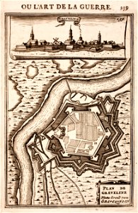
prints from manesson travaux de mars at the peace palace library
fortifications in france
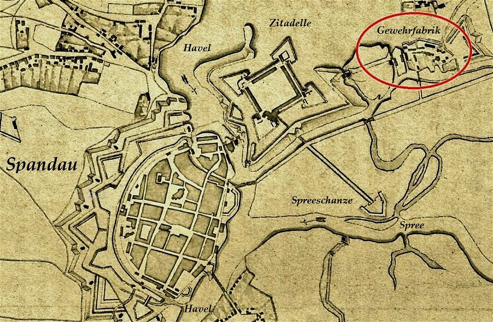
historical documents of the spandau citadel
festung spandau
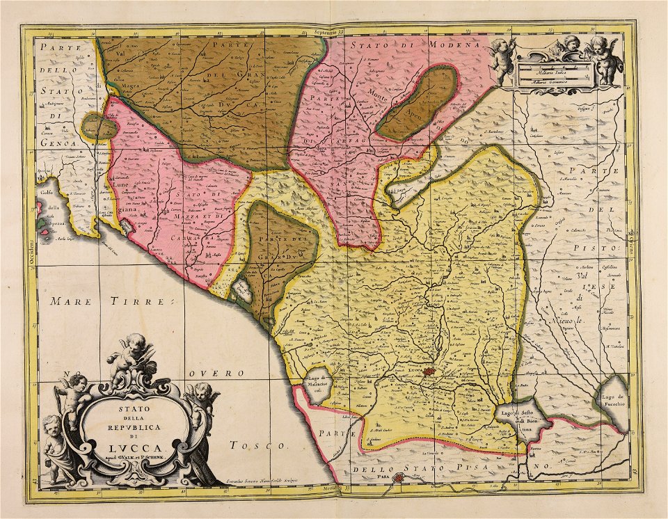
republic of lucca
gerard valck
maps made in the 18th century
johann baptist homann
maps made in the 17th century
gerard valck
maps made in the 17th century
gerard valck
maps made in the 17th century
gerard valck
maps made in the 17th century
gerard valck
maps made in the 18th century
gerard valck
maps made in the 17th century
gerard valck
maps made in the 18th century
gerard valck
maps made in the 17th century
cornelis danckerts (i)
maps made in the 17th century
gerard valck
maps made in the 18th century
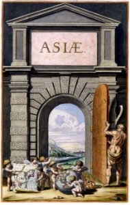
terra santa
novus atlas sinensis
old maps of hunan
paintings by adolph von menzel
tourism
jacob's staff
globes in art
copper engraving
maps
coats of arms of cities in alpes-de-haute-provence
pierre gassendi
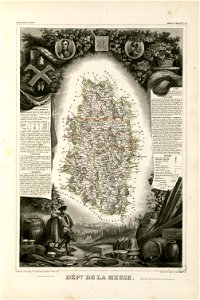
coats of arms of cities in meuse
nicolas oudinot (1767–1847)
dendermonde
lillo
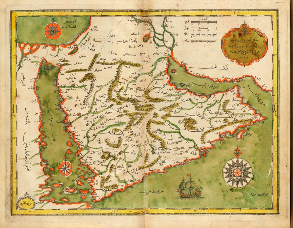
old maps of the middle east
harvard university
new market square in rzeszów
maps of 18th-century europe
maps from the mechanical curator collection available to georeference
maps from the mechanical curator collection
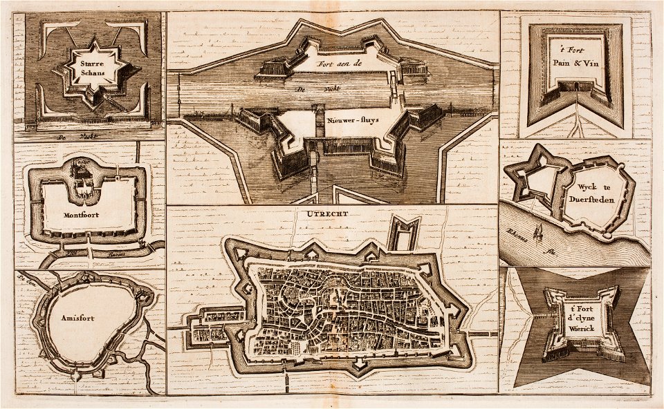
fortifications in the netherlands
wijk bij duurstede
17th-century portrait paintings in the scottish national portrait gallery
john baptist medina
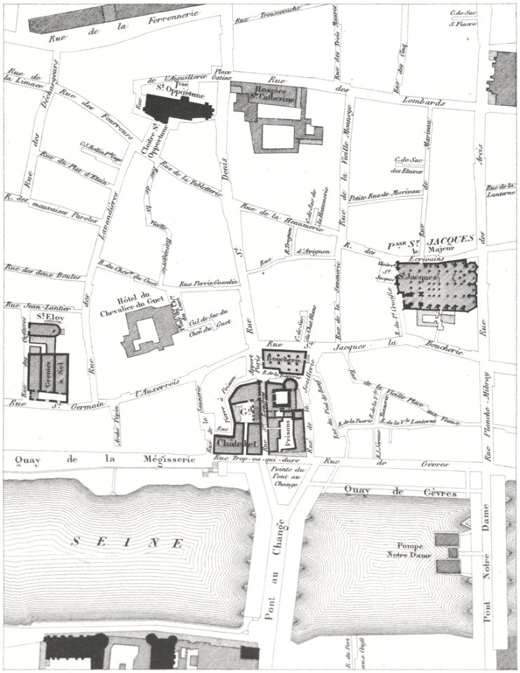
lithographs of paris
grand châtelet
old maps of shaanxi
animals on maps
portrait paintings by johann zoffany
neoclassicism
paintings of sitting girls reading indoors
girls reading in art
novus atlas sinensis
old maps of sichuan
maps with cartouches
old maps of yunnan
female portrait paintings by édouard manet
impressionism
7101 - 7200 of 183,459
Next page
/ 1835